Roads may periodically be closed on FPR State Lands when necessitated by damage, resource conditions, or use constraints.
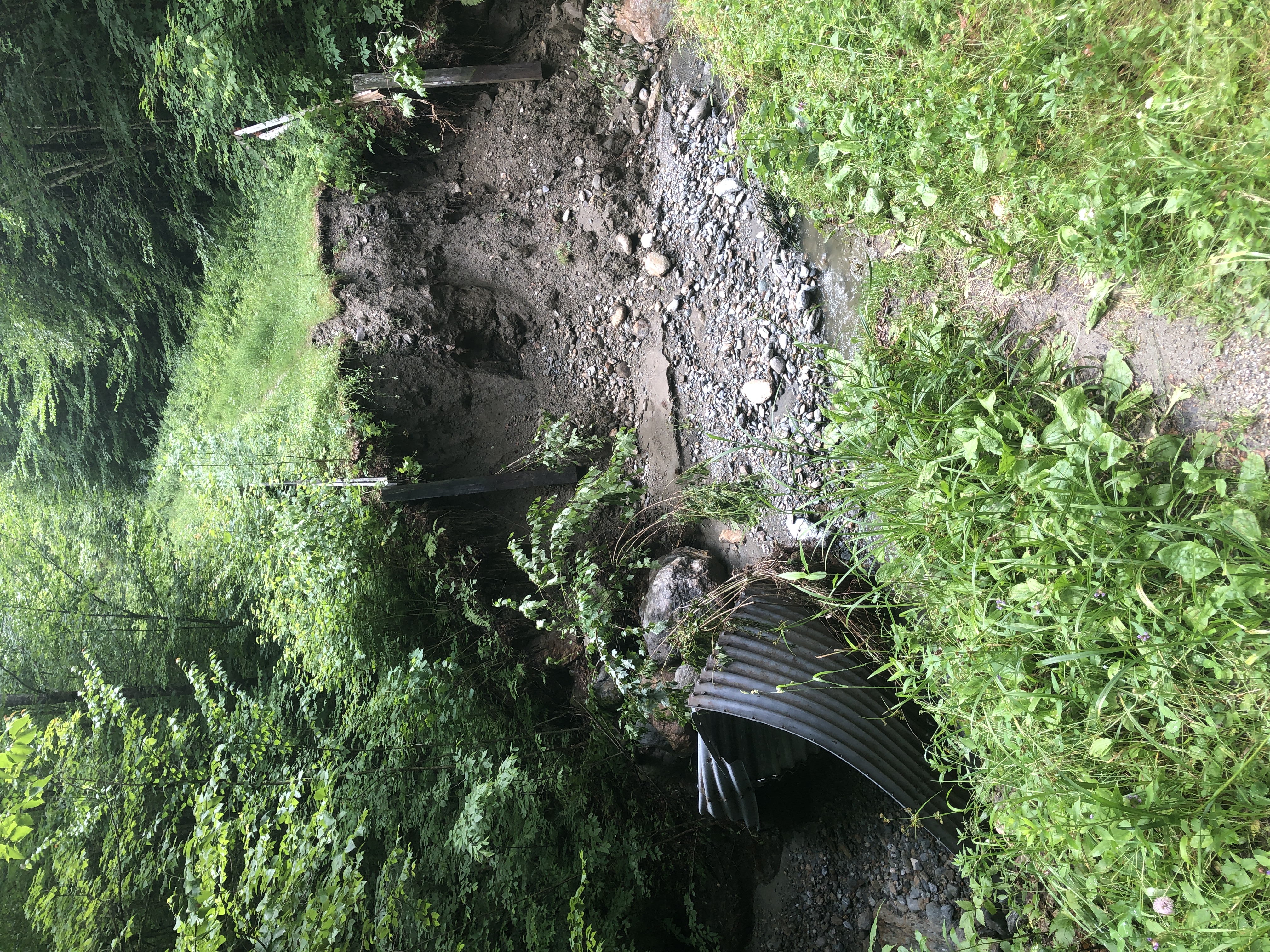
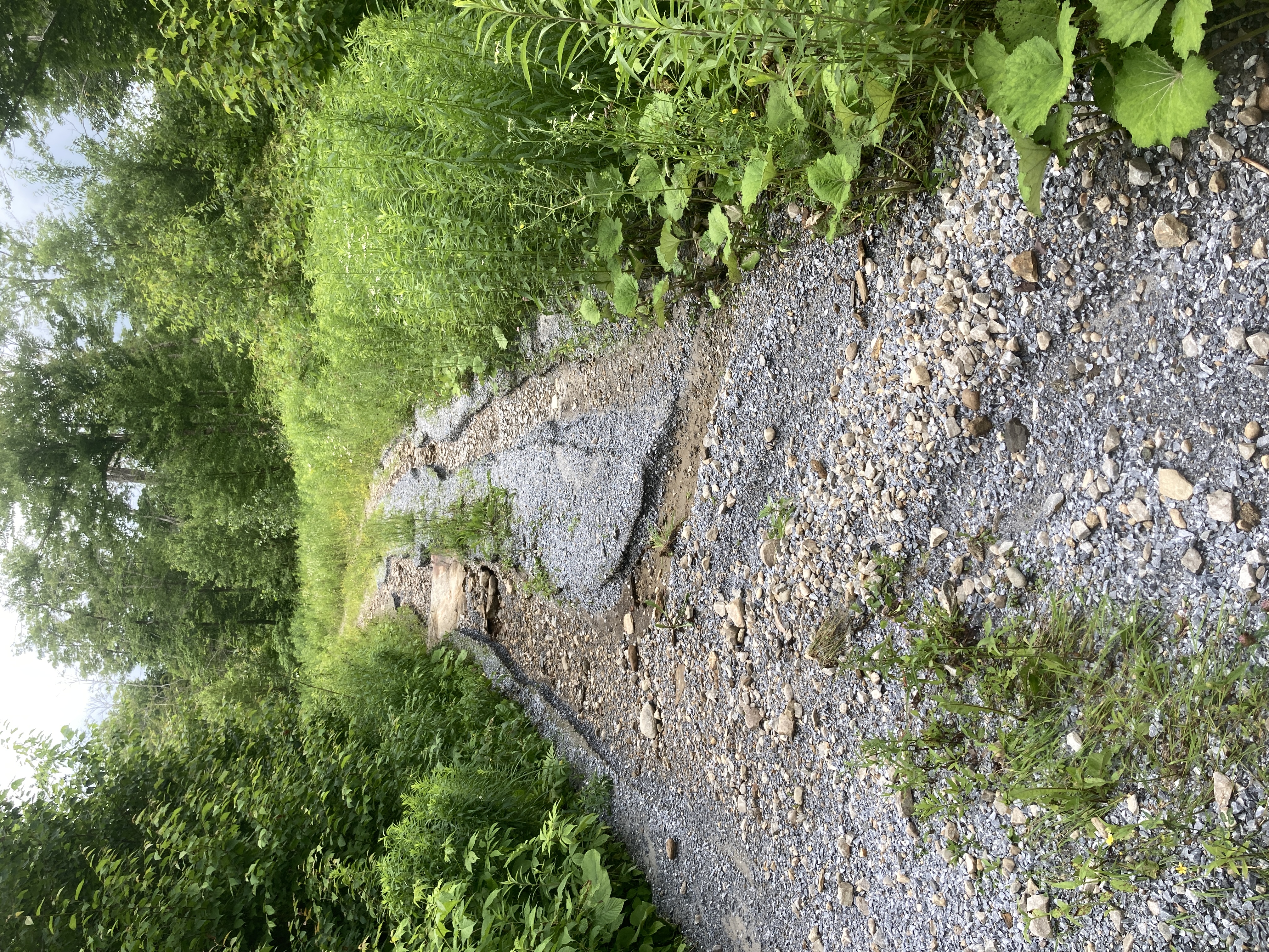
The severe storm of July 2024 caused extensive damage in some areas of the state. As a result, some roads are closed or inaccessible due to damage on neighboring town roads. The following roads are closed to one or more of the traditional public uses of the road, from vehicle access to hiking and biking. These damages will be fixed as quickly as possible, and this list will be updated.
Last updated: 7/18/2024
The following State Lands roads on State Forests and State Parks are closed to normal public use or uses due to storm damage on the road
Barre District
- Mt. Mansfield State Forest
- Cotton Brook Road - there is a major bridge across Cotton Brook washed out and the road is closed to through traffic but is usable from the gate to the washout, and from the washout to the end of the road, approximately four miles on each side of the washout.
- Groton State Forest (Butterfield Block)
- Butterfield Loop Road
St. Johnsbury District
- Groton State Forest
- South Branch Road
- Beaver Brook Road
- Depot Brook Road
- Partridge Road
The following roads are inaccessible to the public due to storm damage on a town road leading up to FPR Lands, and may be impassible themselves
Essex District
- Camel’s Hump State Park
- Honey Hollow Northeast
- Honey Hollow Southeast
- Honey Hollow South