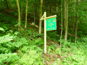
Sharon; Windsor County 624 Acres
For more information about this unit please visit the web page:
General Description:
White River Wildlife Management Area (WMA) is rocky, steep and forested with a mix of red and sugar maple, yellow birch, beech, and hemlock. The river bottom lands are a calcareous riverside seep natural community with several unusual plants. Timber rights on this WMA are privately owned. Access from Honey Brook Road off Howe Hill Road in Sharon is difficult and requires 4WD and high clearance. Parking on Route 14 along the White River is available off Route 14 south of Sharon just north of the railroad trestle. This area is currently under repair so no sign exists but access to the White River and bottomland forests is available here.
Unique Features:
The river bottomlands are a calcareous riverside seep natural community hosting several rare plants and a sugar maple–ostrich fern riverine flood plain forest along the bank of the White River. Reachable by foot, the remnants of a large dam that was destroyed in the “1927 Flood” are impressive.
Recreation Overview:
Expect to find white-tailed deer, grey squirrel, coyote, mink, otter, raccoon, turkey, and ruffed grouse. The White River offers bass, walleye, brown and rainbow trout, and Atlantic salmon. Hunting, fishing, and trapping are allowed.
- Information on hunting, fishing and trapping in Vermont
- Authorized and Prohibited Activities on Fish & Wildlife Lands
Planning Overview:
No Long Range Management Plan (LRMP) exists for the parcel and because timber rights are owned by another entity, none is currently planned.

